


L'ASSAGADOR I LES COVATELLES (PR-CV 347) ROUTE
Multimedia Gallery
Multimedia Gallery
- Font d'En Carròs, la
- contact information
- 962833338
- Access the web
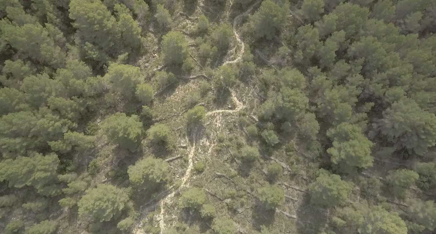
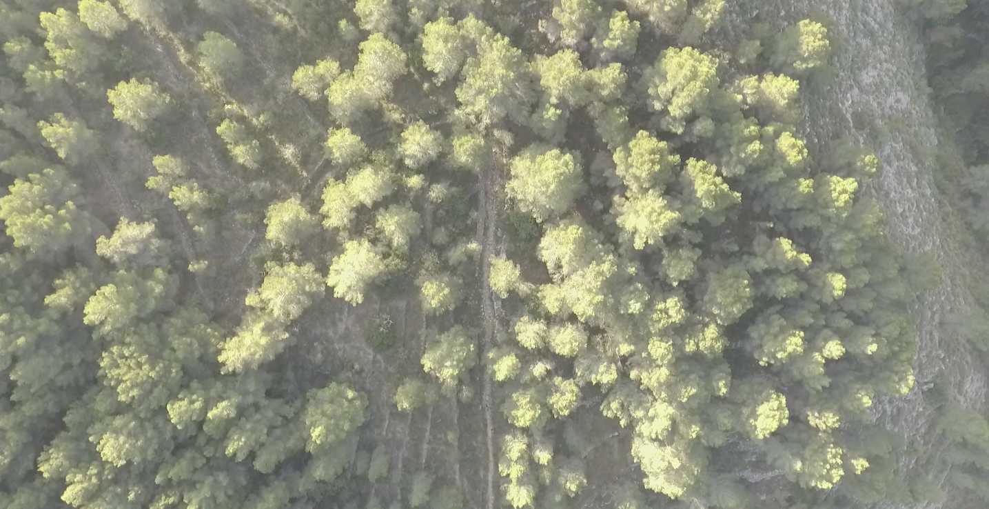
This totally forestry nature trail goes into the heart of the Barranc de l'Arrullador, crossing dense pine forests and passing through the area of la Mola.
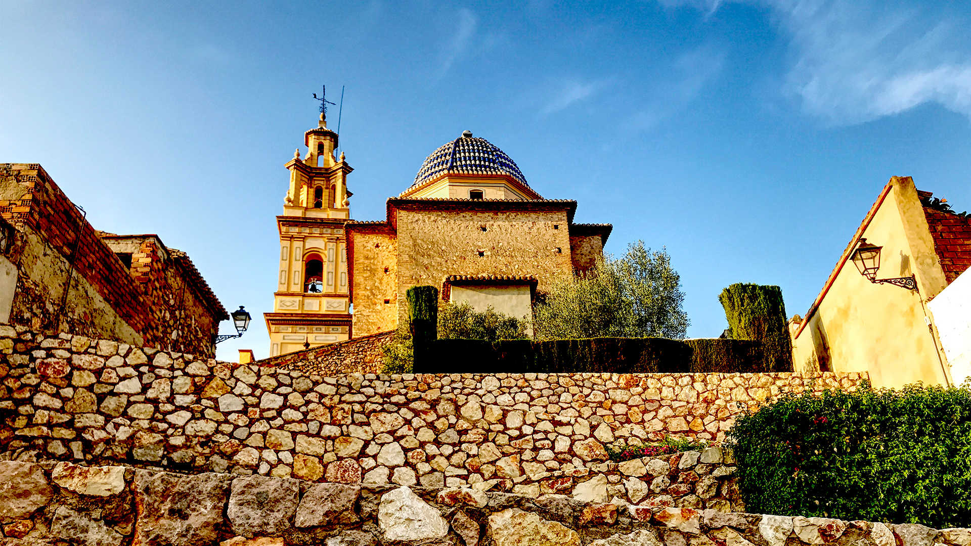
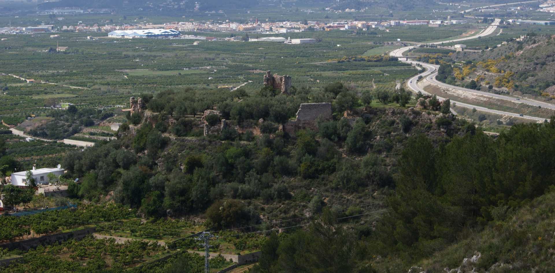
The route starts to el parc del cementeri, located to the southeast of the town.
From here, we take the direction towards the cemetery. First, we will cross el Barranc de les Fontanelles without using the bridge. Once crossed, climb a concrete slope and a few meters, when the concrete road turns to the left, we will take the path that indicates the signaling.
Second, we will walk uphill, between terraces of orange trees and olive trees until we reach the high channel. We will cross the canal through a slab of concrete and we will resume the path upwards, this time between terraces of dry land invaded by the white pine. The trail now has no loss, leads us uphill zigzag until it takes us to the place of la Mola, where we try to locate to the left of the route a huge stone with the shape of a millstone. Returning to the route, the trail continues to rise and leads to different crossings that derive the route.
The first, towards the summit of el Catí and about 100 meters ahead, which brings us along the path of the steppe to l'Assagador de les Covatelles. We will follow the route until the summit of Covatelles, following by the left in the last crossing mentioned. From here to the summit everything is uphill and there is practically only shrub vegetation. The landscape begins to open, and in 35 minutes we will be at the top enjoying spectacular panoramic views of the entire mediterranean coast; from Cullera to the cap de Sant Antoni, el Montgó. Inland we can see la Safor, el Benicadell, el Mondúber and la Serra Grossa.
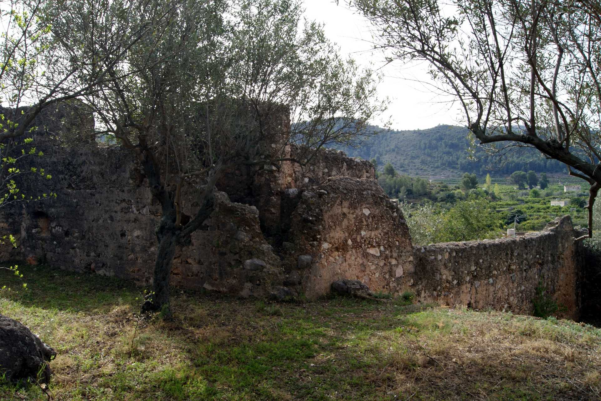
To go back to the village, we will follow along l'Assagador de les Covatelles, in the west direction, looking at la Serra de la Safor. Afterwards, we will descend gently to the crossroads where the path of l'Estepar arrives. Near this junction, we will find a stone built hut used as a refuge for the shepherds in case of rain. Following the route we will enter l'Assagador de les Covatelles, a fantastic stone corridor through which the sheep flocks passed.
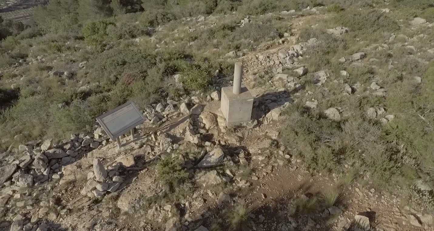
L'Assagador ends at the point linking the three terms of Oliva, Villalonga and la Font, where a stone pillar locates this point. We will take the firewall on the right and go down a section to locate, also on the right, el Camí dels Jugadors. We continue descending a path defined with small stone walls between the pine forests and stone terraces. We will cross the ravine of l'Arrullador and we will ascend a few meters of “solana” until the cross of el Camí del Catí that leads to the top of the same name. Then we will continue along the route descending until we cross the ravine of l'Estudiant until we again reach another junction, el Camí de l'Asagador, which also leads us to the summit of Catí. We continue down our route and we arrive at el Parc de la Plana. Now it is only necessary to go down to the village and cross it to reach the point where we will start the route, el parc del cementeri.
You might also like


Come back

- Cookies policy
- Disclaimer
- Contact
- Newsletters
- Accessibility
-
© Turisme Comunitat Valenciana, 2026.
All rights reserved.