


El Barranco del Carraixet: a haven for biodiversity in l’horta
Published 26/06/2026
Discover the landscape of the Barranco del Carraixet, a treasure that winds its way through a sea of market gardens.
El Barranco del Carraixet, the Carraixet ravine, in Valencia, is one of the defining features of a landscape shaped partly by nature and partly by people. Here, we tell you everything you need to know about this hugely important part of our culture and natural surroundings.
Where does the Barranco del Carraixet begin?
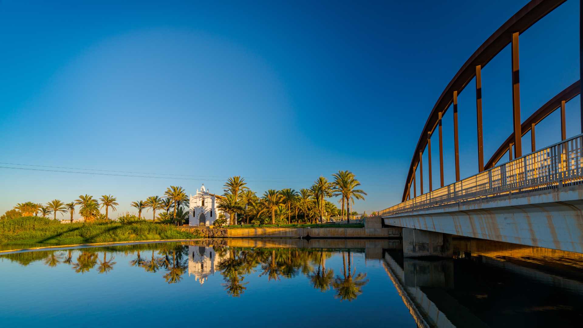
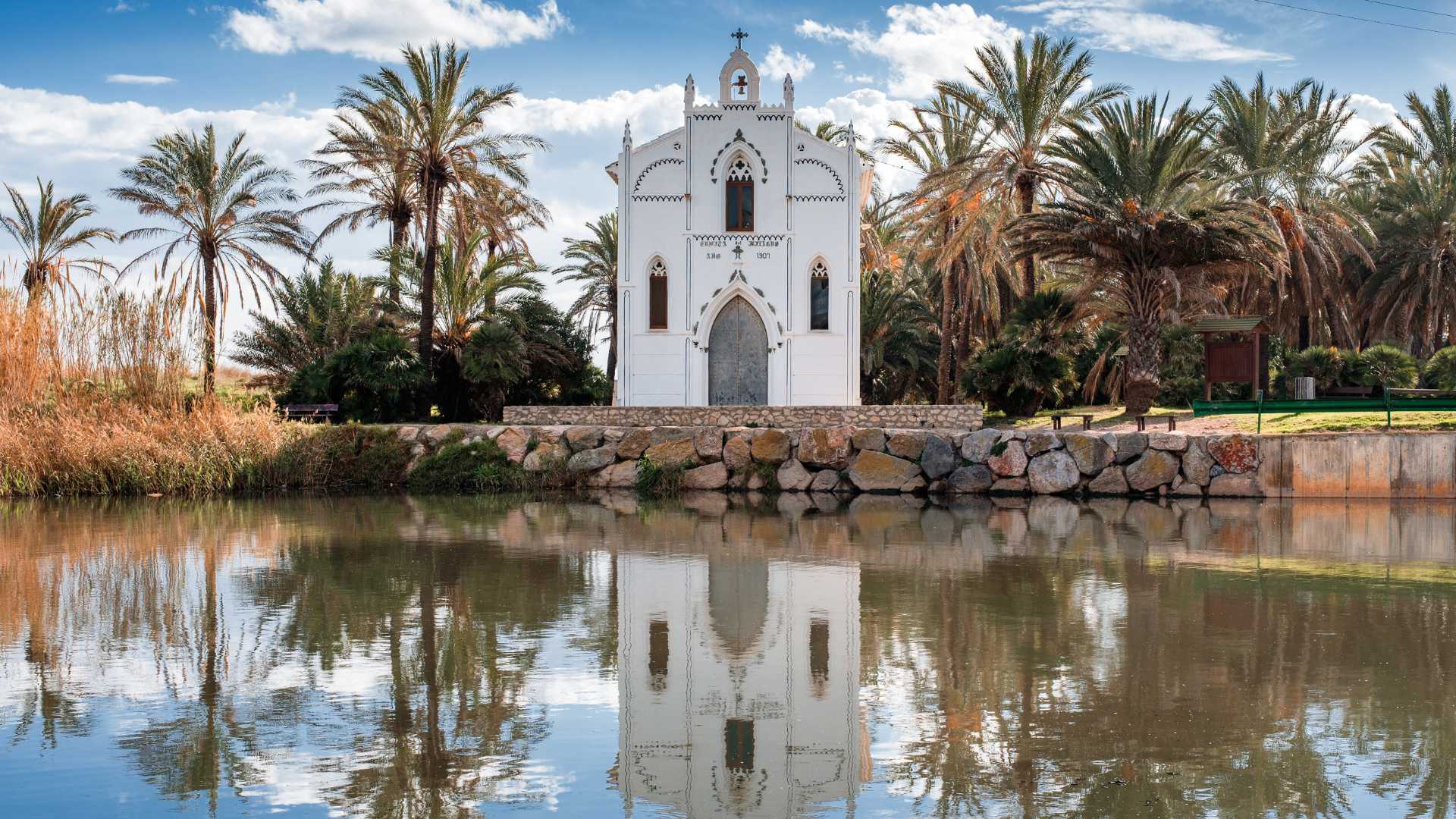
The Sierra Calderona Natural Park is where the route of the Barranco del Carraixet begins. From there, it winds its way for around 50 kilometres before flowing into the Mediterranean beside the town of Alboraya.
It is a spectacular route, which starts among Mediterranean woodland and then passes through orange groves before reaching the flat landscape of l’horta, where the scents of different crops also become part of the scenery.
Which towns does the Barranco del Carraixet pass through?
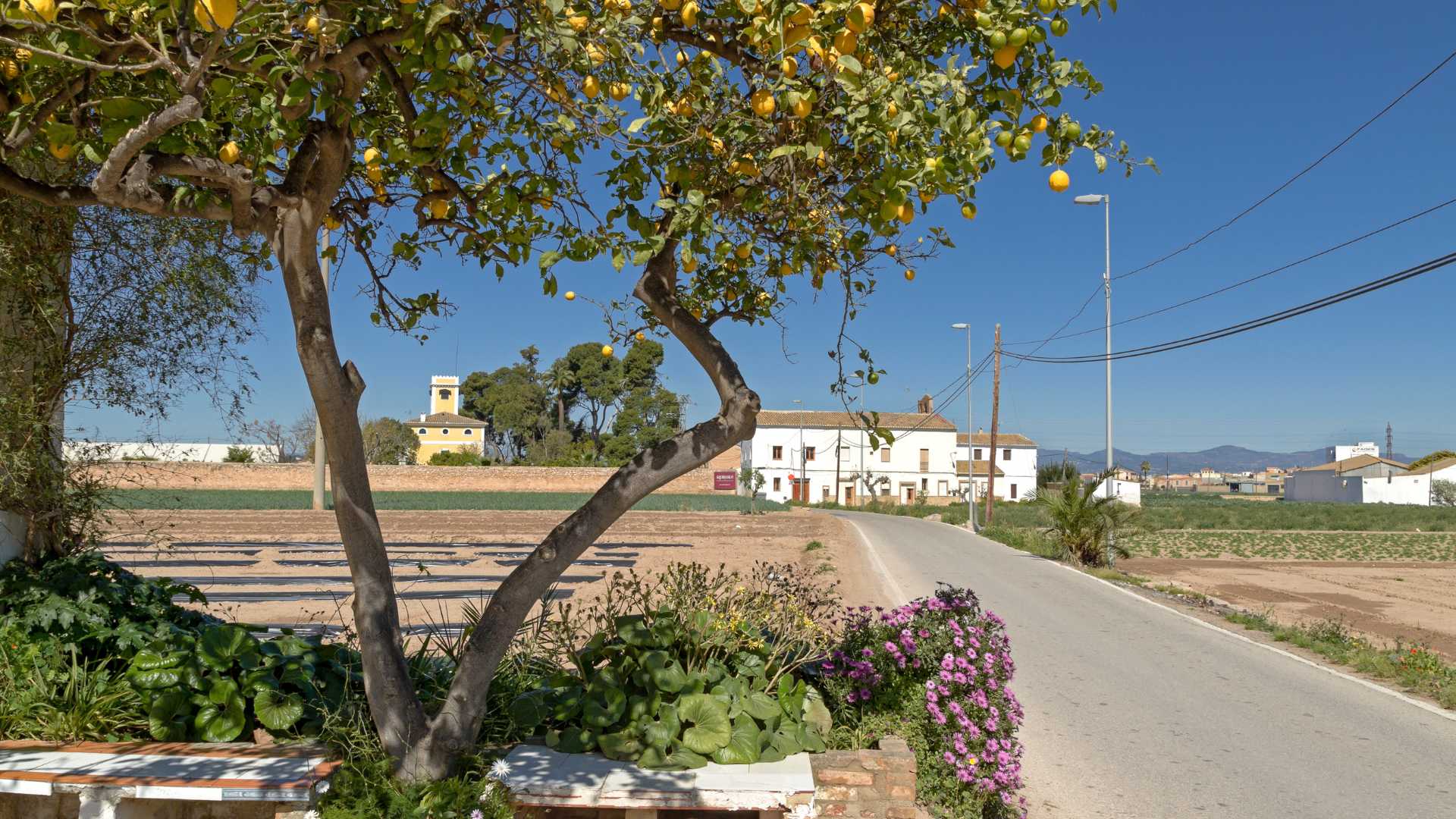
The route of the Barranco del Carraixet begins in Gátova and makes its way down to the sea through several towns and villages, including Olocau, Marines, Bétera, Moncada, Vinalesa, Bonrepós i Mirambell, Almàssera, Tavernes Blanques and, finally, Alboraya.
As you follow its course, you’ll be able to discover places full of history, such as the Puntal dels Llops walled settlement in Olocau. It is also well worth stopping to see the Acequia Real de Moncada as it passes through Vinalesa, and admiring the tiger nut fields in Alboraya before continuing on to some incredible beaches.
How to get to the Barranco del Carraixet?
You can reach different points along the Barranco del Carraixet thanks to a good road network and, in some cases, by public transport. However, if you are setting off from the city of València, we recommend discovering it on foot or by bike, following the cycle lane that connects the city with other towns in l’horta nord and traces the route of the Vía Verde Xurra.

Come back

- Cookies policy
- Disclaimer
- Contact
- Accessibility
-
© Turisme Comunitat Valenciana, 2026.
All rights reserved.