




Sierra de Aitana: a complete guide
Published 29/10/2026
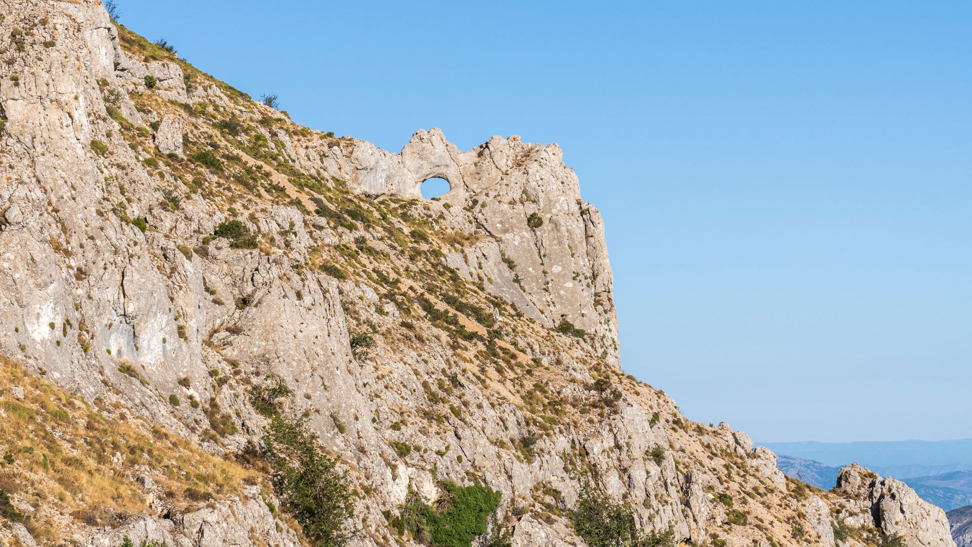
The Sierra de Aitana in Alicante is a mountain range of ever-changing landscapes, where you’ll find lovely villages and protected areas such as Puigcampana and Ponotx. Explore it on a rural getaway or a walking trip, and get to know the municipalities scattered across La Marina Baixa, El Comtat and L’Alcoià.
Among dry-stone terraces, centuries-old olive trees and valleys that capture the calm of inland Alicante, the Sierra de Aitana rises above the landscape as a natural vantage point.
This limestone mountain range is somewhere to leave the everyday behind and get fully immersed into a landscape where heritage and nature blend into one at every turn. There is no shortage of walking routes for exploring the mountains on foot.
Where is the Sierra de Aitana in Alicante?
Sitting where La Marina Baixa, El Comtat and L’Alcoià meet, the Sierra de Aitana forms a major natural divide across inland Alicante.
To the south-east, it connects with the Puigcampana and Ponotx Protected Landscape, which stretches across the municipalities of Finestrat, Polop, Benidorm and La Nucia. This area is of considerable environmental value, protecting micro-reserves of endemic plants as well as nesting areas for birds of prey.
What are the most beautiful towns near the Sierra de Aitana?
A number of villages with deep rural roots sit around the foothills of the mountains. As well as those around Puigcampana and Ponotx, such as Finestrat and La Nucia, there are plenty of other places to explore:
-
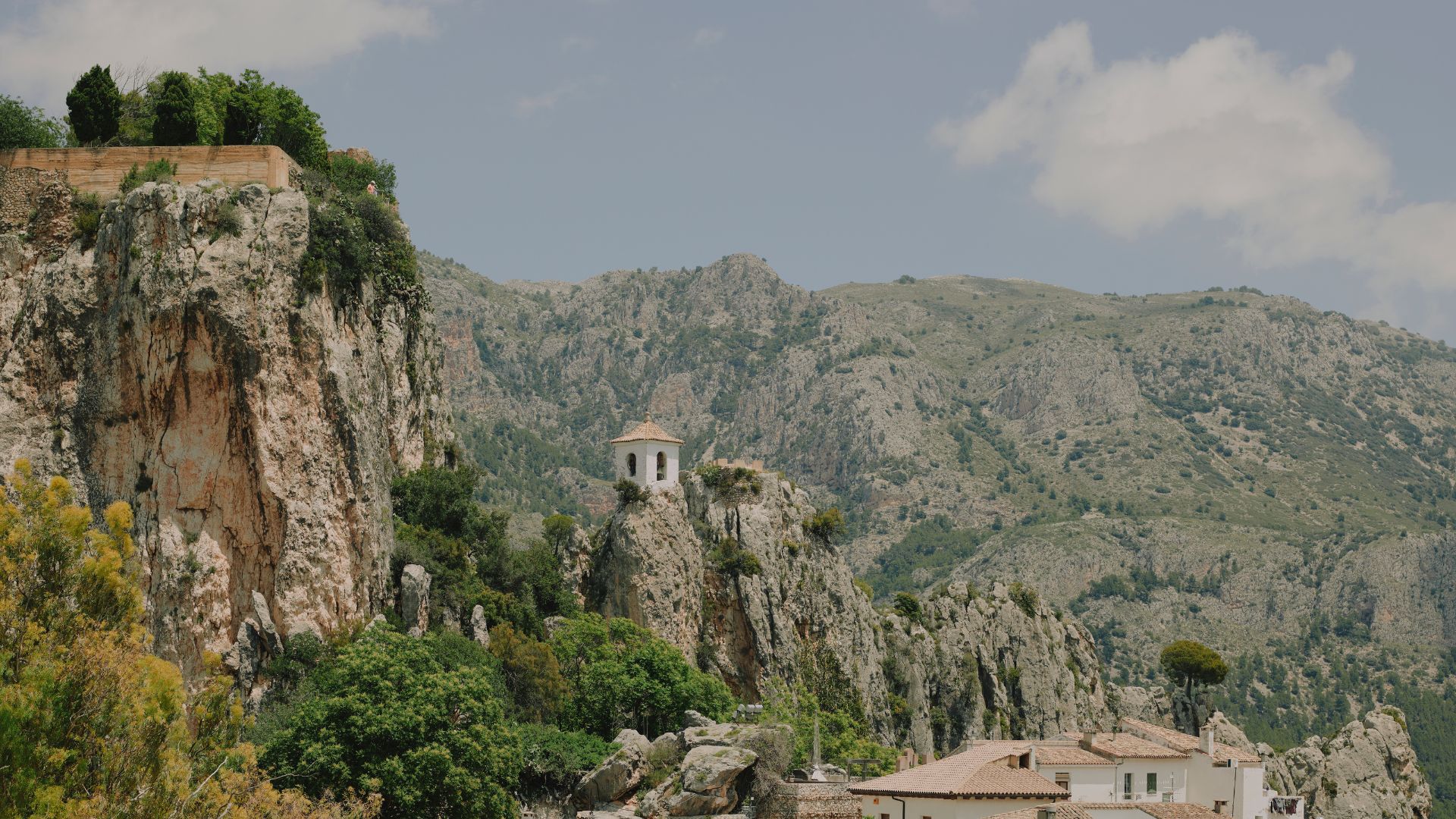
In the Guadalest Valley on the northern side: El Castell de Guadalest, with its fortress on the rock and reservoir; Benimantell, with viewpoints across the valley; Beniardà, beside the water; Benifato, a traditional starting point for walking routes; and Confrides, at the highest point of the valley.
-
In El Comtat and L'Alcoià on the north-western side: Penàguila, a medieval village where you can explore the romantic Santos Garden; Alcoleja, the highest inhabited municipality in the area; as well as Benasau, Benilloba and their surrounding farmland.
-
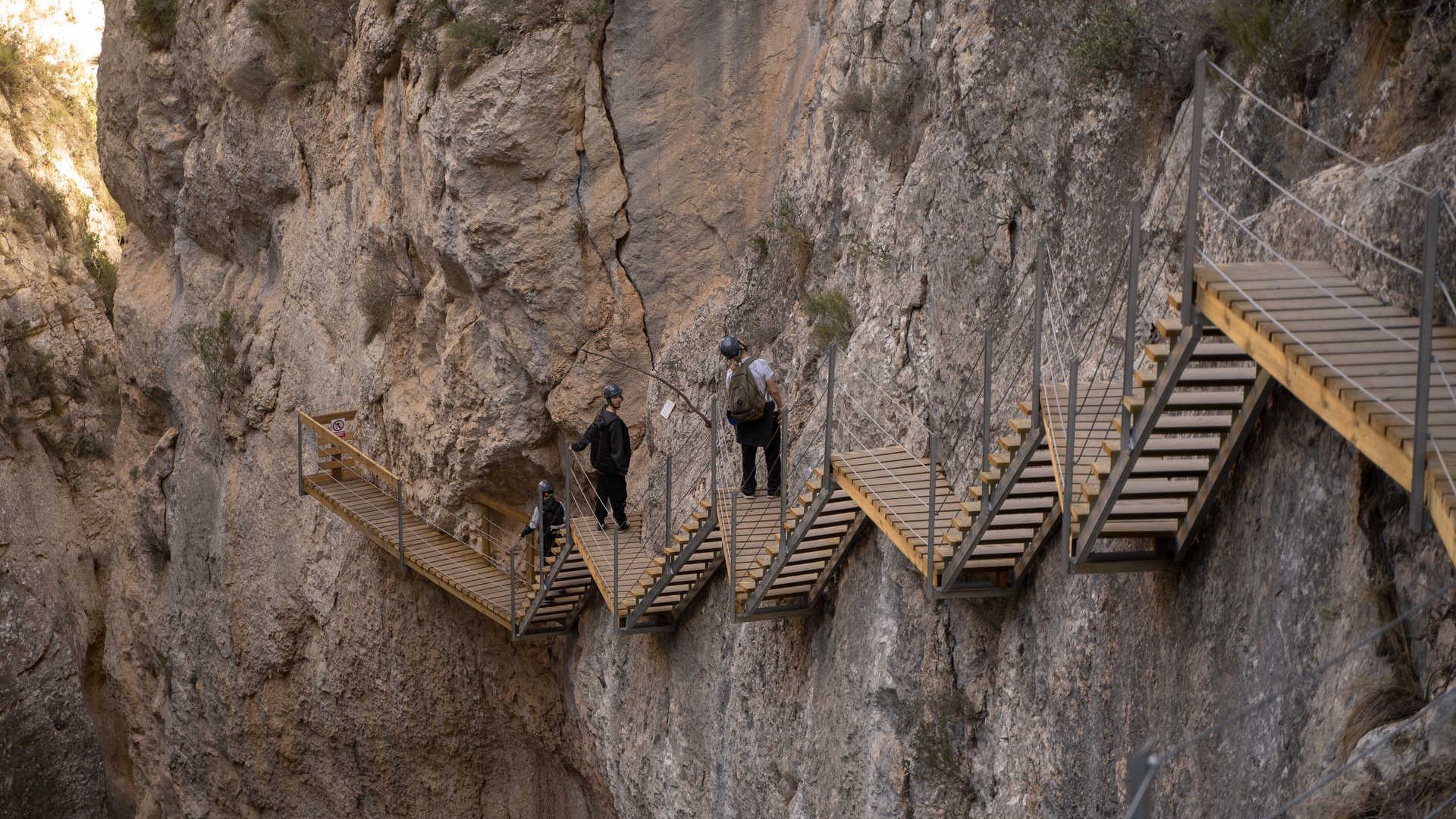
On the southern side: Sella, a firm favourite with walkers thanks to its Water Route and natural springs, and Relleu, known for its walkway suspended above the narrow Amadorio river gorge.
Routes through the Sierra de Aitana
The many routes through the Sierra de Aitana climb among holm oaks, oaks and maples, passing dry-stone structures, old mills and recreation areas along the way. Here are some of the most popular:
-
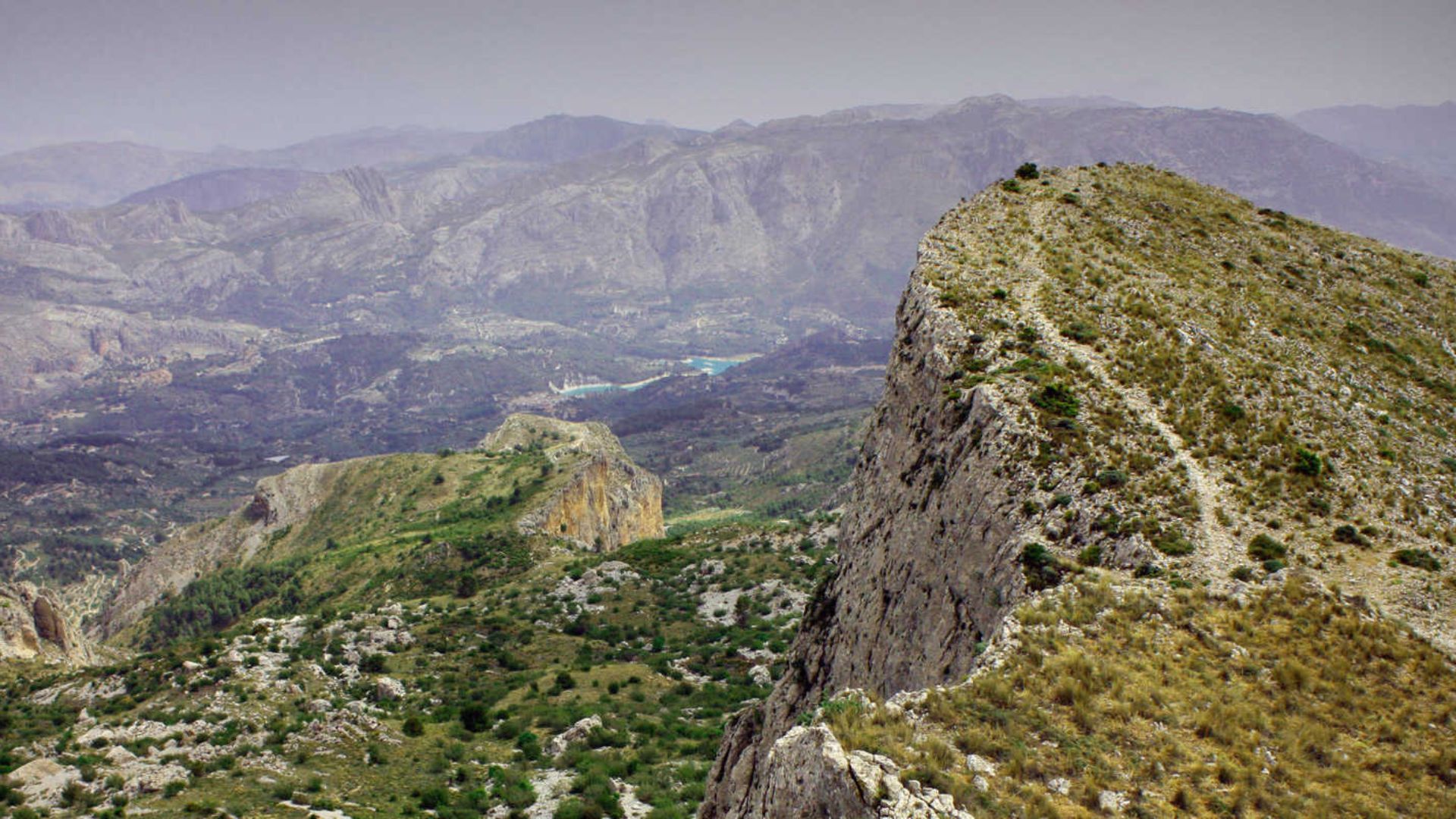
Guadalest Reservoir circular walk: an easy route with far-reaching views that works well for a family day out.
-
Relleu Reservoir Elevated Walkway Route: a walk high above the landscape, complete with a glass-floored viewpoint.
-
PR-CV 464 Sierra trail in Benimantell: discover some of the best-known springs in the Sierra de Aitana.
-
SL-CV 112 Water Route in Sella: follow a route past the old mills along the River Sella.
What is the highest point in the Sierra de Aitana?
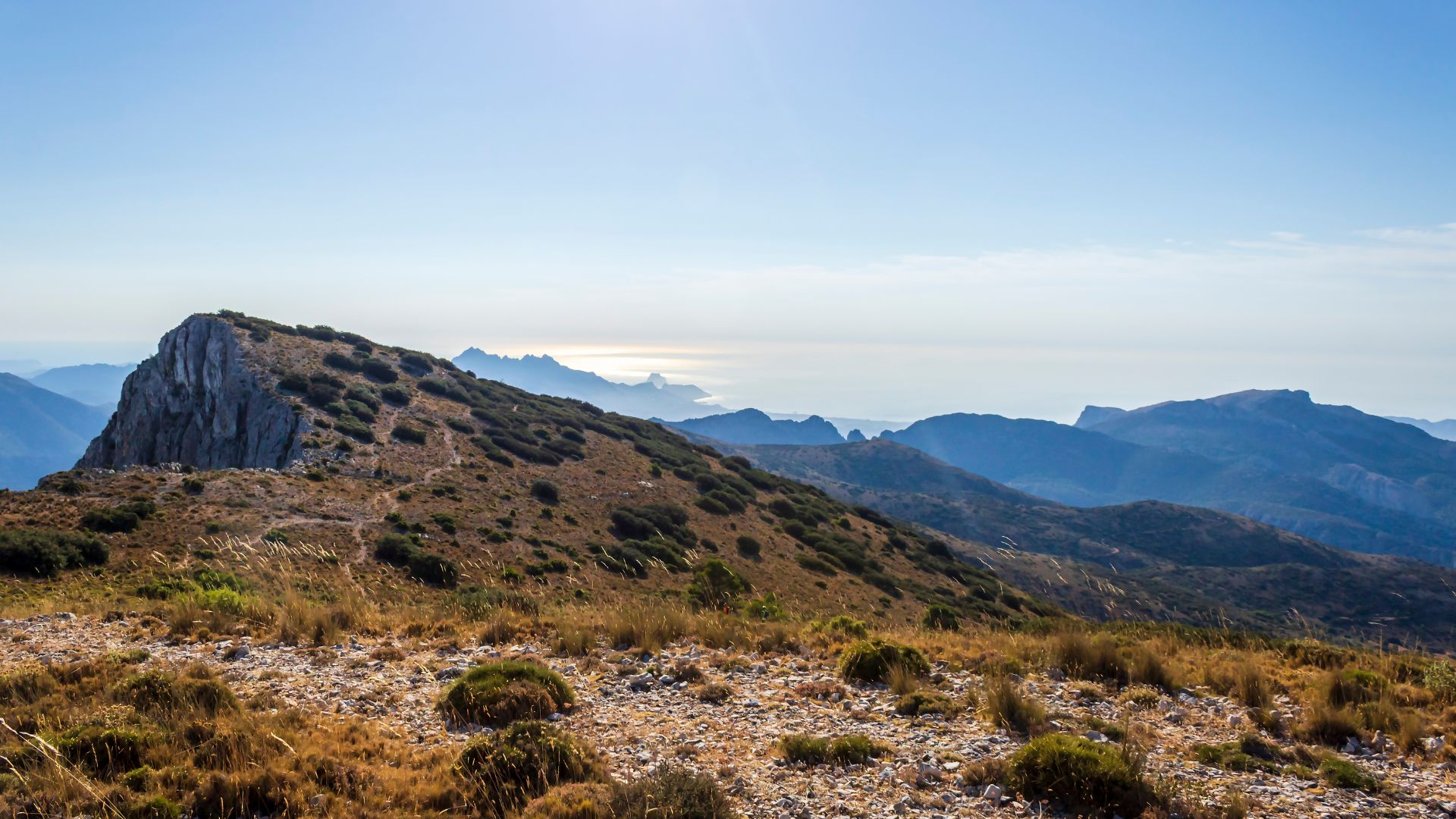
At 1,558 metres high, Aitana peak is the highest summit in the province. Reaching the top is one for experienced mountain walkers.
Come back

- Cookies policy
- Legal notice and privacy policy
- Contact
- Accessibility
-
© Turisme Comunitat Valenciana, 2026.
All rights reserved.